
Grand Canyon of the Tuolumne
Passing through the Tuolumne’s own Grand Canyon, this 57-mile backpacking route is an excellent way to enjoy a less crowded corner of Yosemite National Park. Starting from the Glen Aulin High Sierra Camp, you’ll make your way down the Grand Canyon of the Tuolumne Trail.

Crabtree Trail to Bear Lake
This 8-mile roundtrip hike brings you to two beautiful mountain lakes, along with numerous meadows and lots of granite. The trail is accessed via the Crabtree Trailhead.

Carlon Falls Trail
This 3.4-mile trail crosses from the Stanislaus National Forest into Yosemite National Park. The trailhead is accessed off of Highway 120 on Evergreen Road.

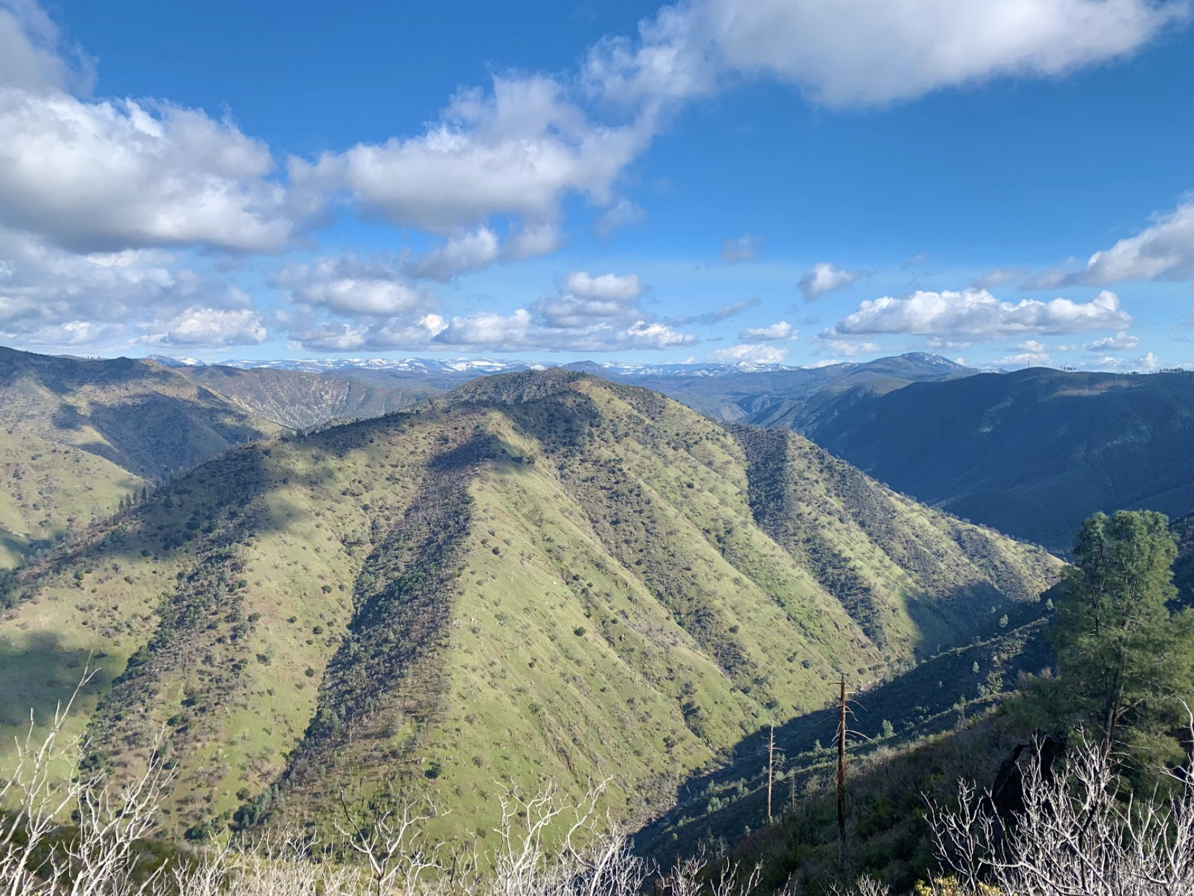
Preston Falls Trail
This moderate 7.5-mile out and back trail travels along part of the Tuolumne River and ends at the large pool below Preston Falls.

Sword & Lost Lakes
This 6-mile round trip trail in the Carson-Iceberg Wilderness brings you to two alpine lakes while providing views of the Dardanelles and Spicer Meadow Reservoir.

Chewing Gum Lake from Gianelli Trailhead
Featuring swimmable alpine lakes, expansive views of granite landscapes, and meadows that bloom with wildflowers in the spring, this 9.0 mile out-and-back trail allows hikers to experience a remarkable area of central Sierra Nevada.

Kennedy Meadows to Relief Reservoir
This is a 7.0-mile out-and-back hike that follows the Middle Fork Stanislaus River up to Relief Reservoir in the Emigrant Wilderness.

Cleo’s Bath from Pinecrest Lake Loop
Cleo’s Bath is a breathtaking series of natural pools located on the South Fork Stanislaus River above Pinecrest Lake. The trail is about 7.5 miles in length and can be accessed from either direction of Pinecrest Lake Loop.

Wapama Falls at Hetch Hetchy Reservoir
Starting at the O'Shaughnessy Dam, this 4.6 mile out-and-back trail follows the northern edge of the famous Hetch Hetchy Reservoir in Yosemite National Park.
Hamby Trail
This difficult 2.0 mile trail leads to the confluence of the Tuolumne and Clavey Rivers in the Stanislaus National Forest.

Tuolumne River Canyon Trail
This is a moderate, 6.0 mile trail that meanders along the south side of the Tuolumne River in the Stanislaus National Forest.

Westside Railroad Trail
Located along an old railroad grade near Tuolumne City, this 10.5 mile out-and-back trail is easily accessible and includes less than 150 ft of elevation gain.